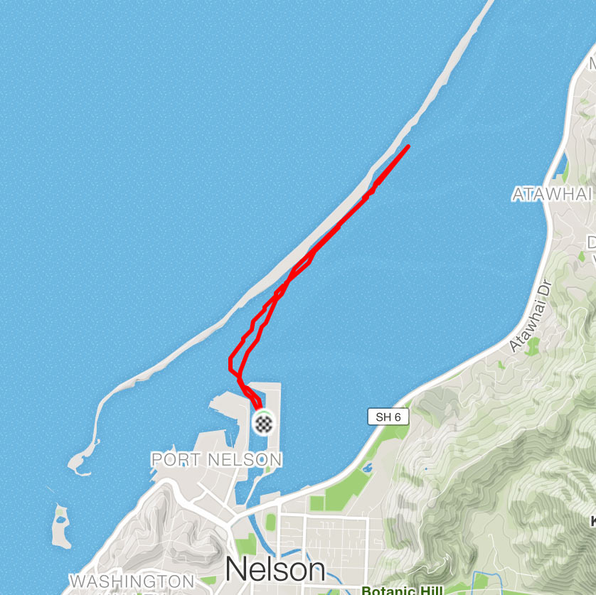
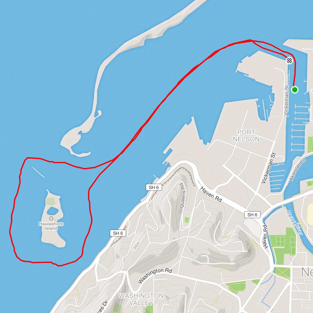
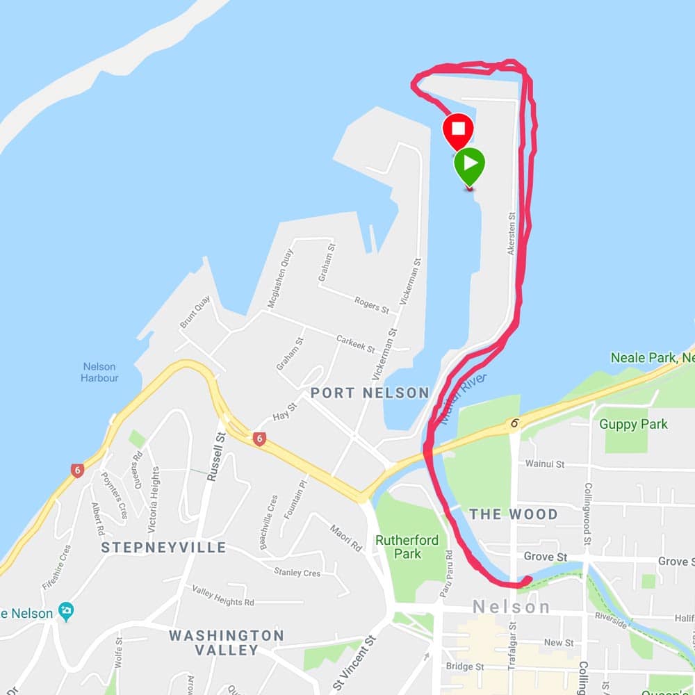
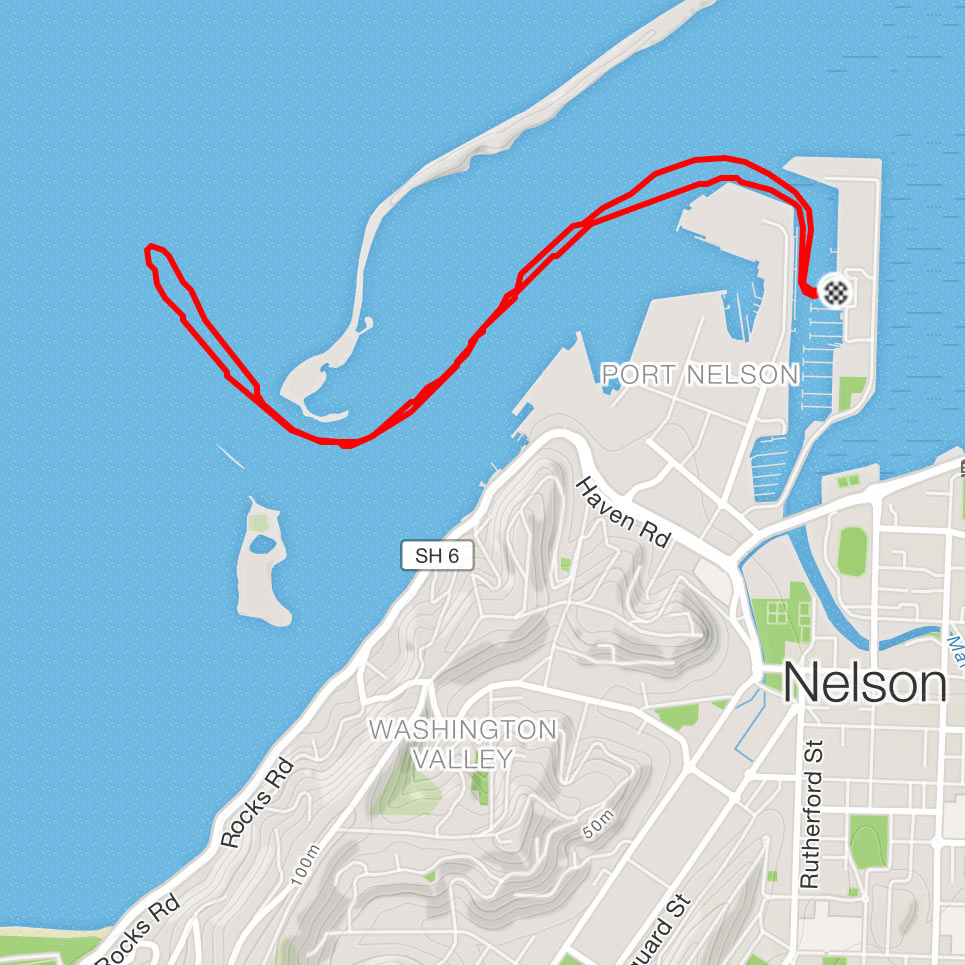
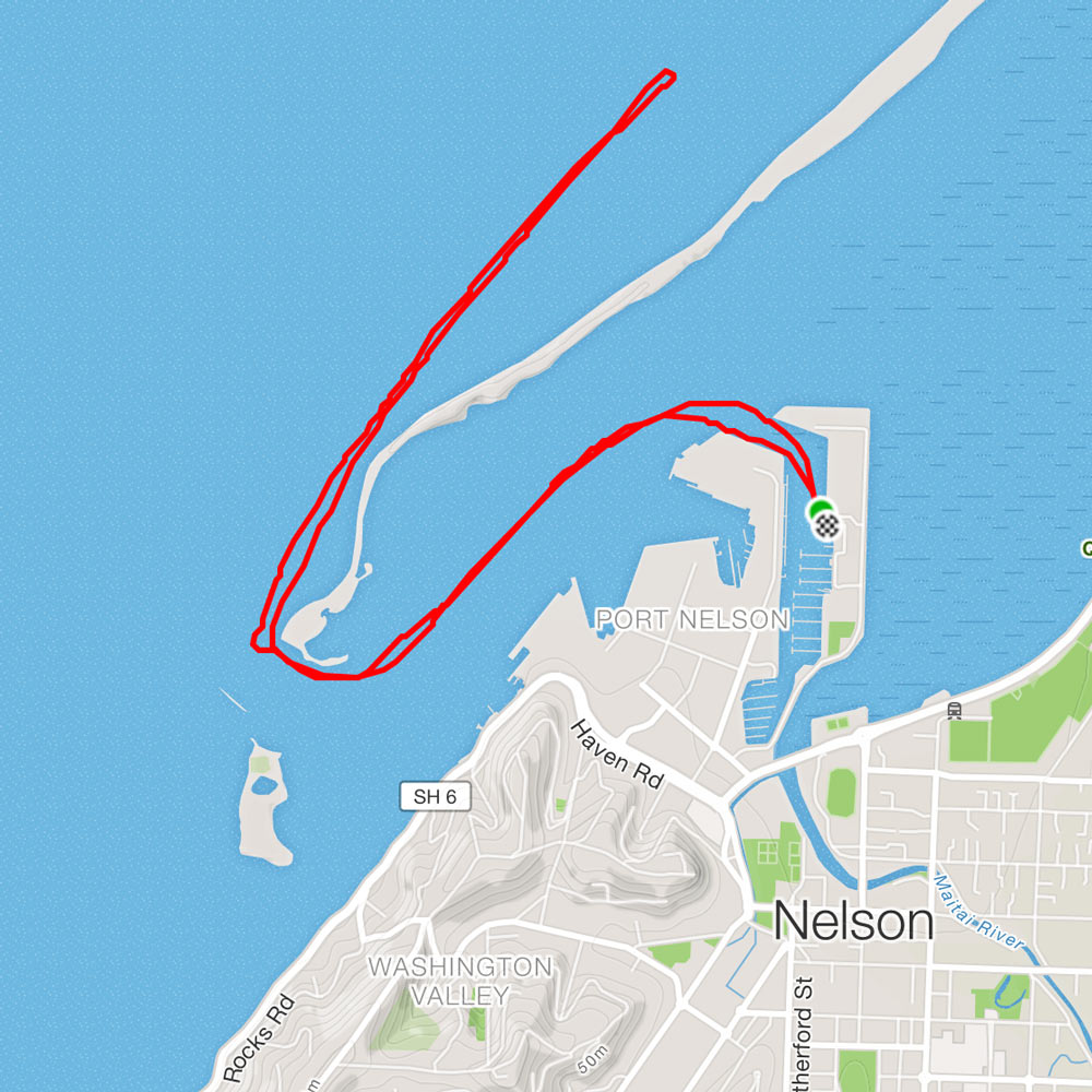
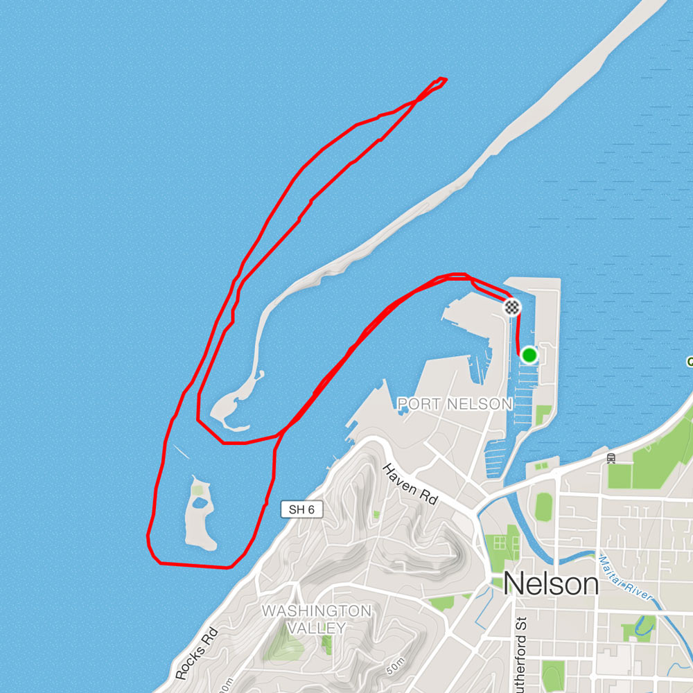
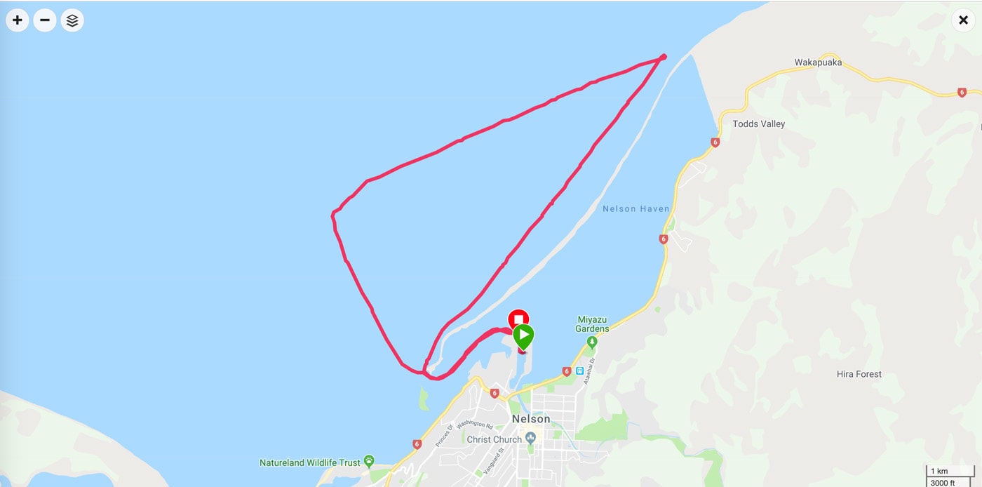
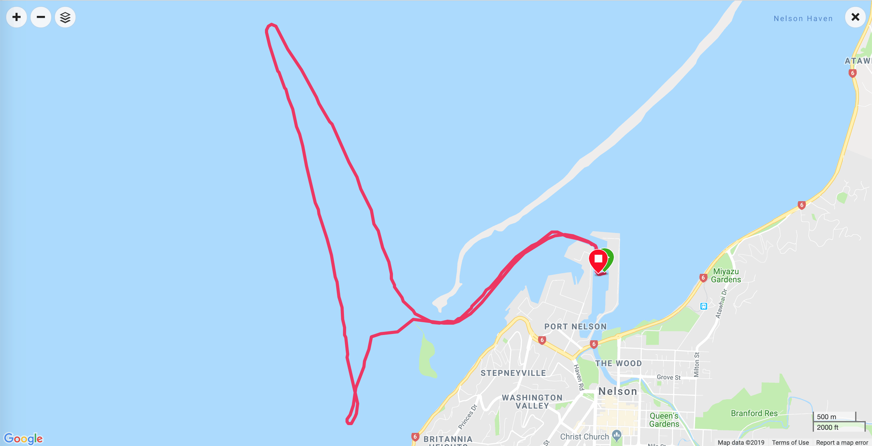
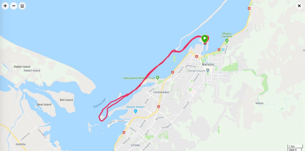
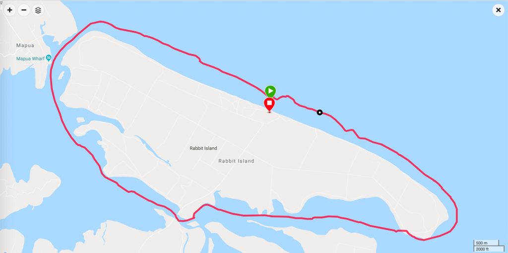
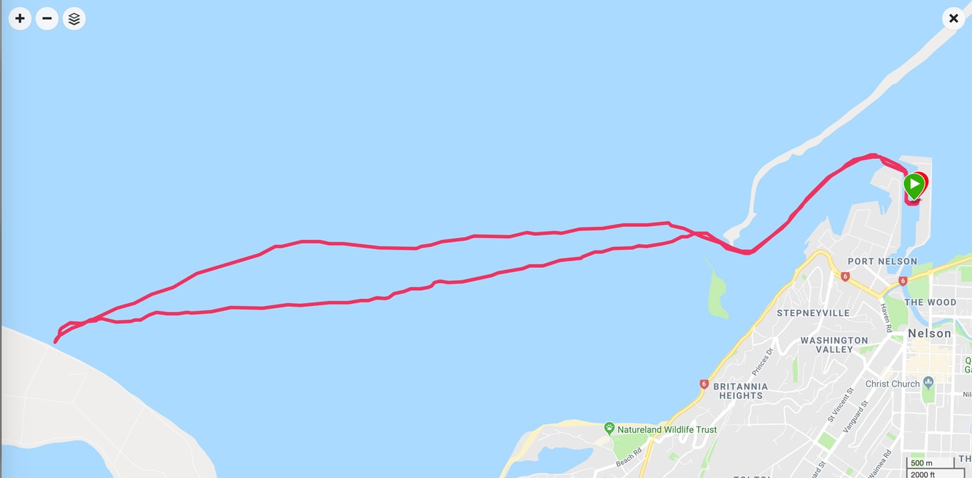
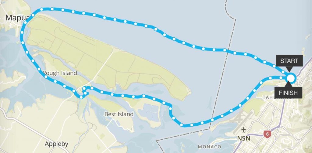
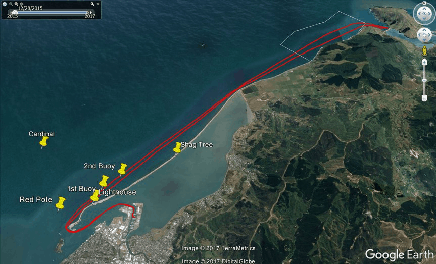
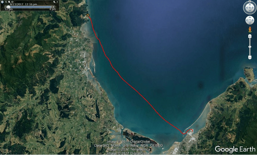
Paddling routes & distances
Here are some common routes in and around Nelson Haven and Tasman Bay. The distances are approximate as there are always some changes in route for weather, current and wind. The distances are for the whole route (there and back). If you have mapped routes and distances that aren’t listed can you please let us know.
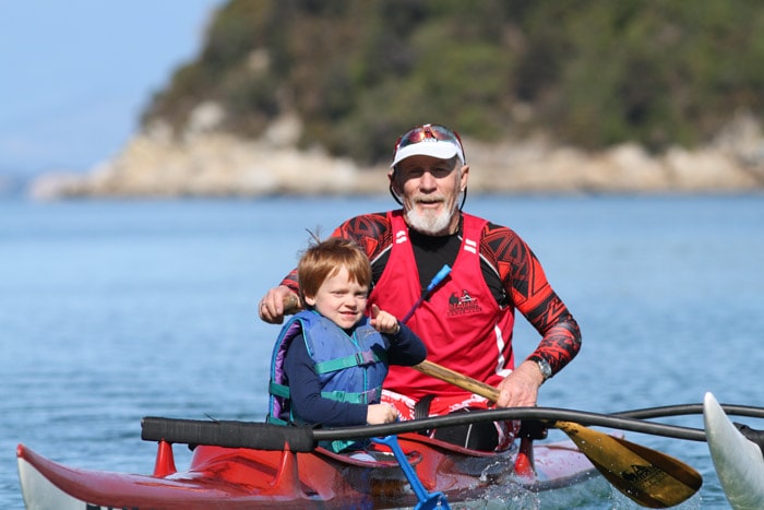
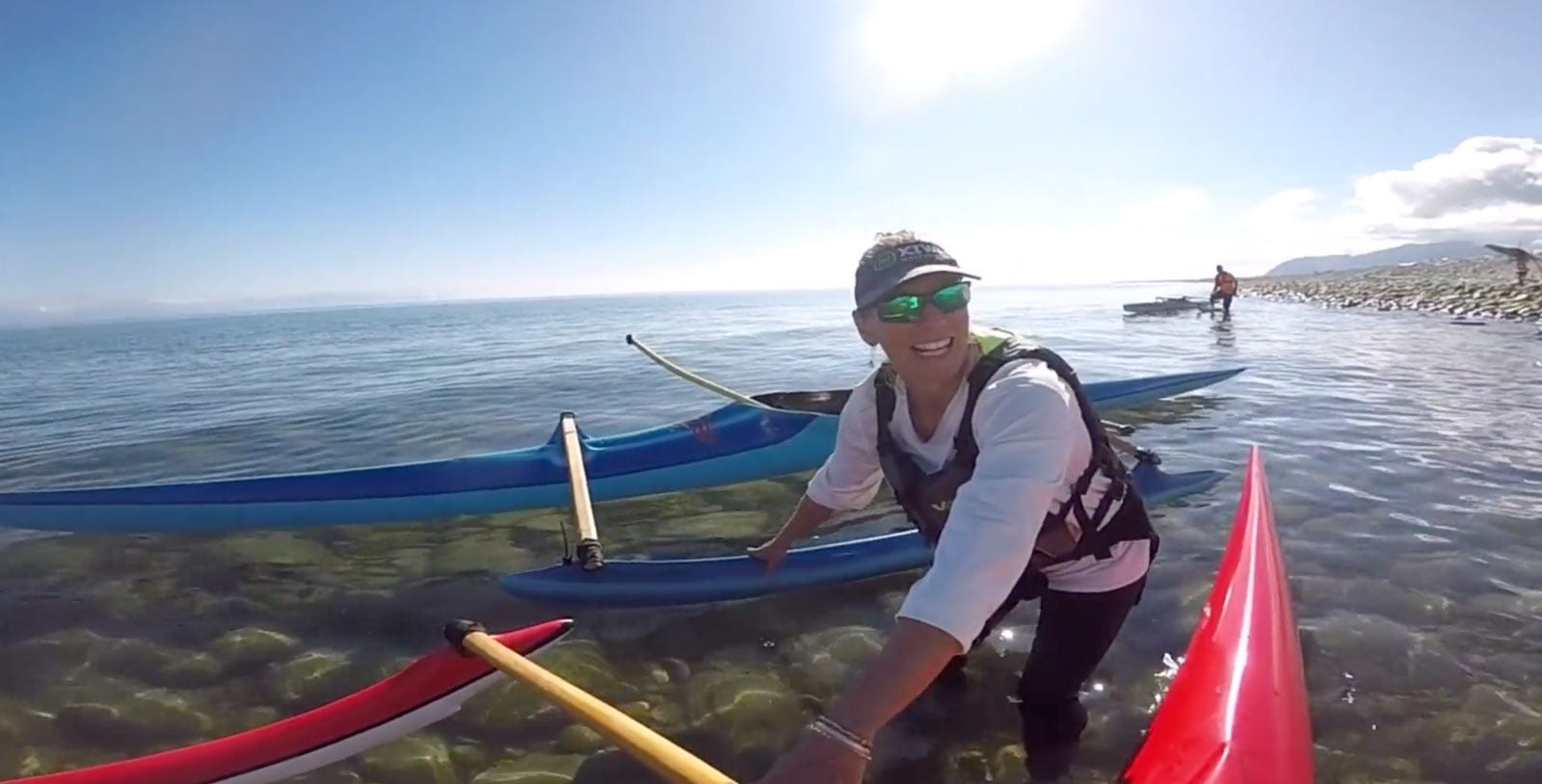
Its never too early or too late to start paddling waka ama
We welcome new members to the Maitahi Outrigger Canoe Club. Maitahi has social and racing waka ama crews catering for a wide variety of ages and abilities.